Photos showing progress on the construction of the Liverpool Canal Link, May 2008. [Page 1, Page 2, Page 3, Page 4, Page 5.]
(Please note: the images on these pages are quite large so the page may be slow to load for those not using broadband.)
These photos cover the route of the new canal link in sections, from south to north, from Canning Dock to Trafalgar Dock.
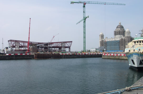
Looking across Canning Dock towards the new Museum of Liverpool site at Mann Island. The future entrance to the canal link is shown by the sheet piling enclosing the area where the dock wall will be broken through (left of centre).
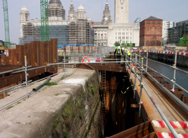
The section of dock wall to be removed at Canning Dock. To the left, construction has begun on a new lock to take boats into the canal link. The lock is needed because the water level in Canning Dock and the other South Docks is variable.
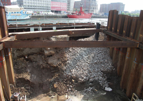
Looking back across Canning Dock from the site of the new lock.
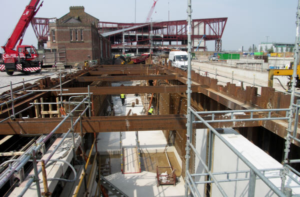
Sheet piles support the ground each side of the construction of the new lock between Canning Dock and the canal link.
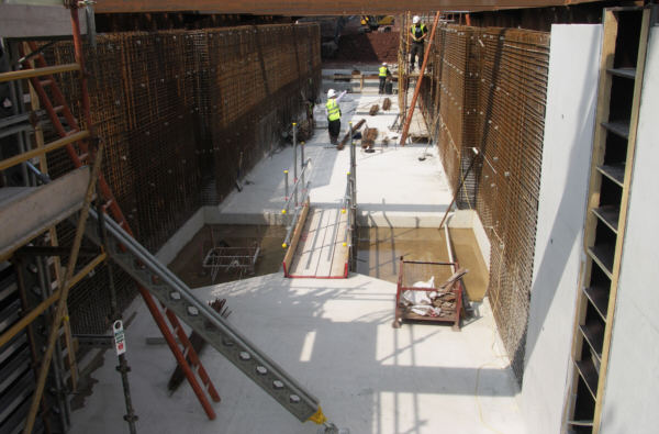
The chamber of the new lock takes shape. On the ground can be seen the lower cill and gate stops. On each side the steel reinforcements ready to be encased in concrete show the shape of the gate recesses.
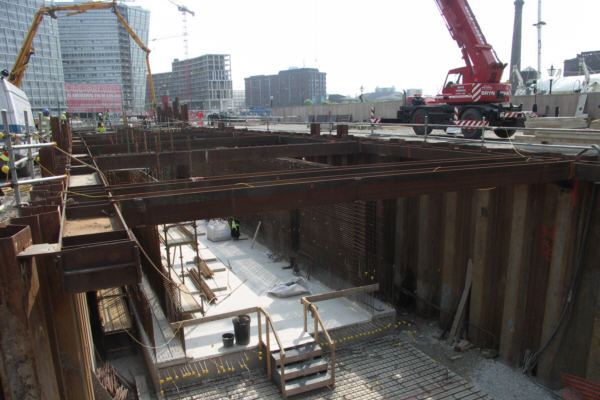
Construction of the new lock at Mann Island, looking back towards Canning Dock.
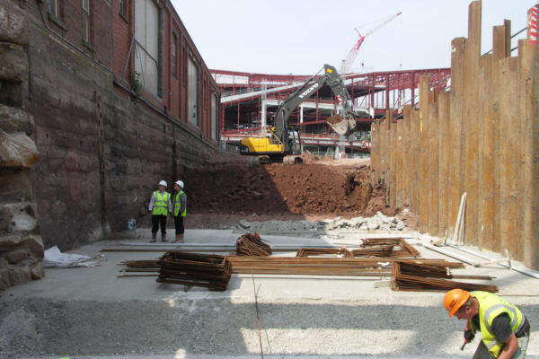
Beyond the new lock, the ground is being excavated for the new channel that will run across Mann Island and below the new Museum. To the left an old dock wall has been exposed, including an old wooden ladder.
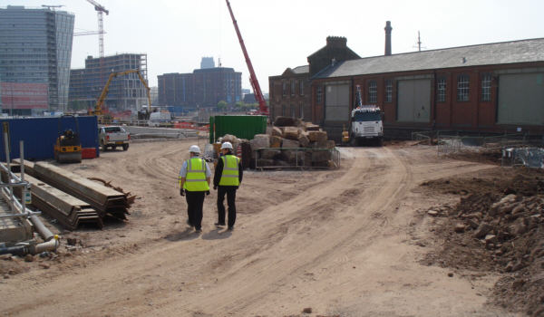
Looking back to the lock construction from the Museum site. The canal link will run into a small triangular basin alongside the warehouse on the right, then turn and run towards the camera, entering a tunnel at this point which will run below the new Museum towards the Pier Head. The stone blocks in the centre of the photo are from old sections of dock wall.