Photos showing progress on the construction of the Liverpool Canal Link, May 2008. [Page 1, Page 2, Page 3, Page 4, Page 5.]
(Please note: the images on these pages are quite large so the page may be slow to load for those not using broadband.)
These photos cover the route of the new canal link in sections, from south to north, from Canning Dock to Trafalgar Dock.
From Princes Dock, the canal link route will cross Princes Half Tide Dock and West Waterloo Dock to reach Trafalgar Dock, most of which had been in-filled.
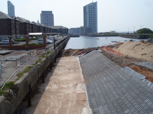
Looking south along West Waterloo Dock. A channel has been built at the northern end of the dock, which had been partly infilled. In the distance, the dock opens into Princes Half Tide Dock.
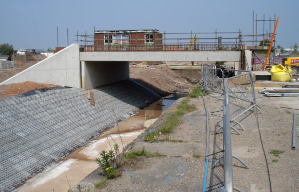
A new bridge is being built across the channel at the northern end of West Waterloo Dock to provide access to the area between the canal link and the river bank.
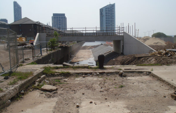
Looking back through the new bridge to West Waterloo Dock. The route of the canal link will cut through the end of the dock, seen here, in a new channel through to the side of Trafalgar Dock.
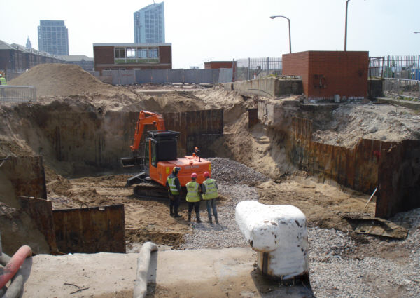
The new channel between West Waterloo Dock and Trafalgar Dock will pass through here. The white bollard in the foreground was on the dockside of Trafalgar Dock.
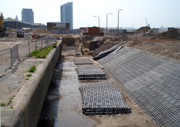
The southern end of Trafalgar Dock. The channel through to West Waterloo Dock will curve left after the white bollard (as seen in previous photo) then pass to the left of the two-storey building.
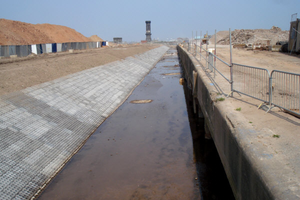
A channel has been created running alongside the east wall of Trafalgar Dock. The sloping western side of the channel is lined with a mesh that will enable vegetation to grow. In the distance stands the Victoria clock tower overlooking Salisbury Dock.
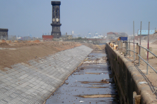
A close-up of the northern end of the channel shows a bund holding back the water of Clarence Dock, beyond which the water of Salisbury Dock is seen. At Salisbury Dock, opposite the Victoria clock tower, boats will turn right into Collingwood Dock to reach Stanley Dock and the locks up to the main line of the Leeds and Liverpool Canal.