Photos showing progress on the construction of the Liverpool Canal Link, May 2007. [Page 1, Page 2.]
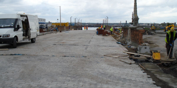
The line of the former "Floating Roadway" has been infilled, to create road access to the new Cruise Liner facility and ferry terminal.
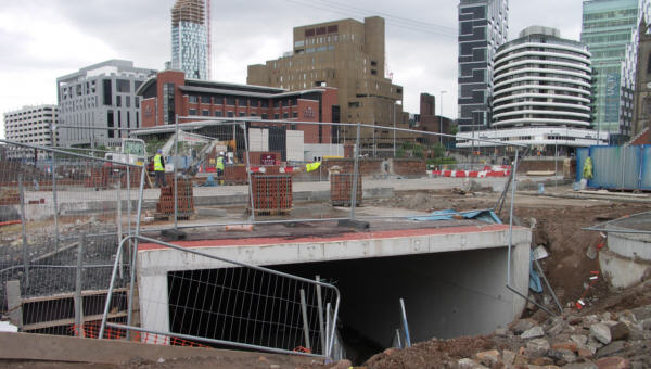
The first section of canal tunnel has been constructed, across the infilled Floating Roadway site.
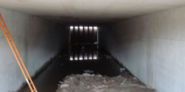
Veiw inside the first section of tunnel, looking northwards.
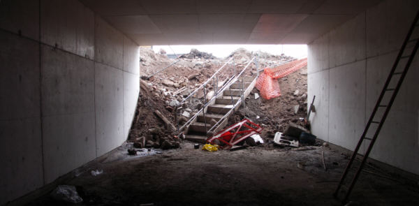
Looking southwards inside the first section of tunnel.
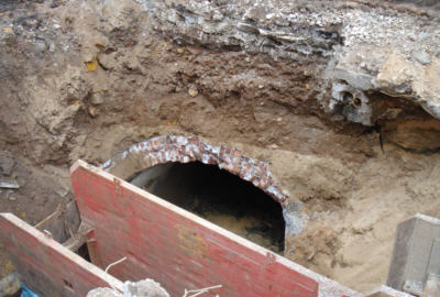
An unused culvert was unexpectedly unearthed during excavation, which is believed to have been used for draining George's Dock. A disused Victorian sewer was also uncovered.
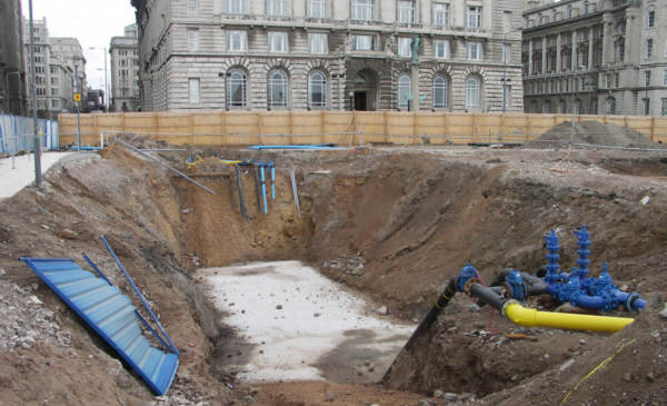
Opposite Water Street, the service pipes to the buildings on the seaward side, including the new ferry terminal, have been lowered so that they will run below the new canal channel.
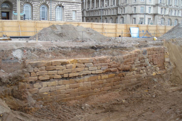
In front of the Cunard Building, an old section of river wall has been uncovered, dating from the 1760s. This wall marked the shoreline after George's Dock was constructed. This wall is to be preserved and covered up again after the new canal channel has been constructed a short distance in front of it.