Part Three of the route of the new canal link. (Back to Part Two.)
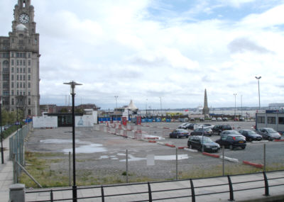
Looking south from Princes Dock, towards St Nicholas Place and the Pier Head. The new channel would cross the area now occupied by this car park.
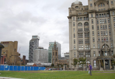
Looking across the Pier Head gardens, which will be bisected by the new link. Behind the Liver Building, with a backdrop of high-rise modern buildings, is the church of St Nicholas, the patron saint of sailors. This is Liverpool Parish Church and dates from 1257. Before the docks were built in 1767, the Mersey at high tide lapped right up to the churchyard wall.
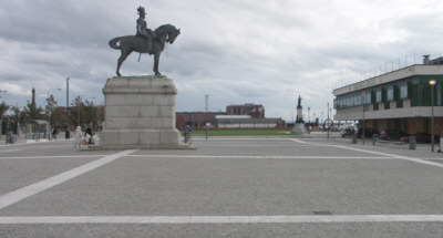
Looking south along the route of the link. It is proposed to create a tunnel under this paved area.
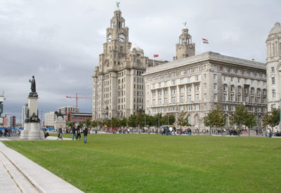
Another view across the Pier Head gardens, looking north. The canal link would run in an open cutting across this area, with continuous steps leading down along the sides.
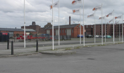
After crossing the gardens, the route of the new link curves south-eastwards at Mann Island, through what is now a car park, towards Canning Dock, passing to the north of the graving docks.
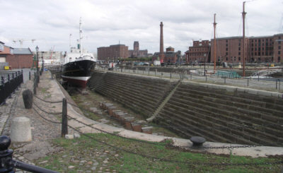
One of the graving docks (or dry docks) off Canning Dock. The link will run parallel to the left, with a shallow lock into the dock.
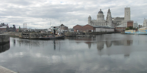
Looking north across Canning Dock. The link will emerge through a lock just right of centre, where the shed stands. The route to Albert Dock is through the gap on the left into Canning Half Tide Dock. The entrances to the graving docks are just left of centre.