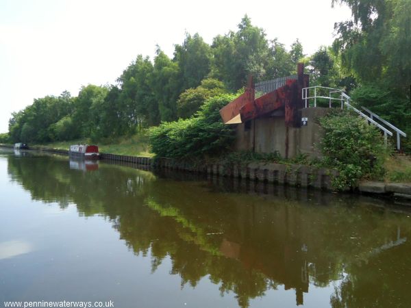
Coal loading chute at the side of Castleford Cut.
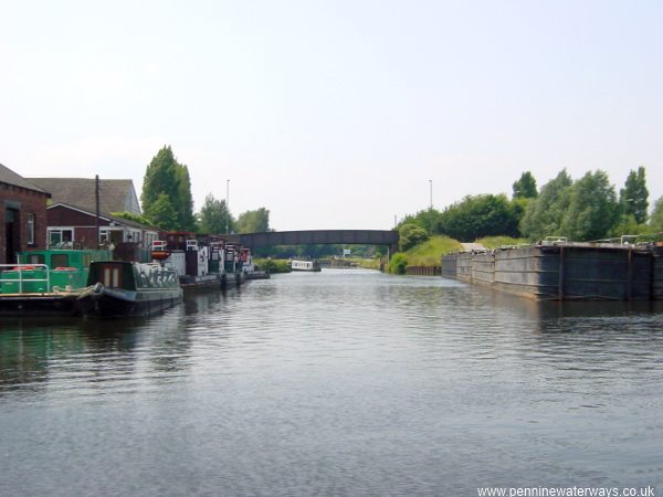
Boats moored at Castleford in 2003, including "Tom Puddings" on the right.
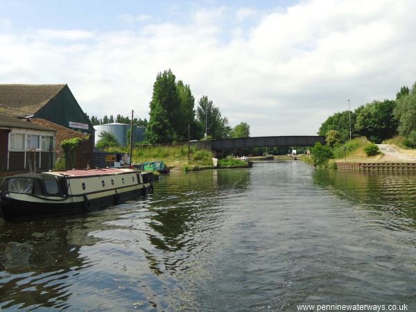
The same location in 2013, looking towards Barnsdale Road Bridge.
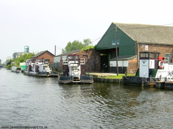
Tugs moored at Hargreaves' boatyard, Castleford in 2003.
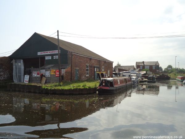
The same location in 2013, will all the former Hargreave's tugs gone.
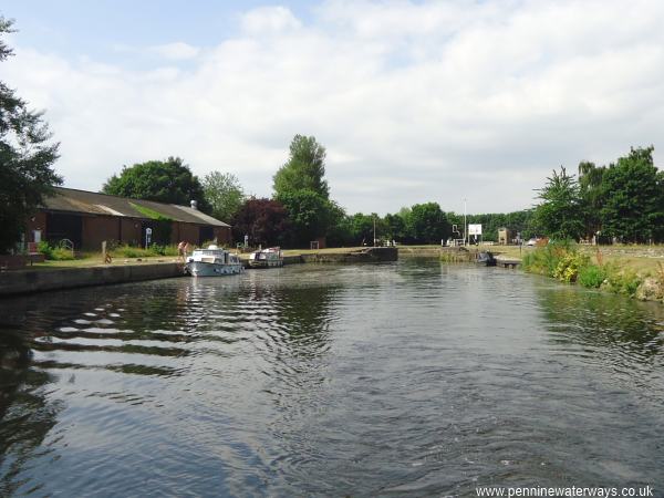
Looking west towards Castleford Flood Lock from Barnsdale Road Bridge.
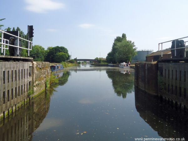
Looking east from Castleford Flood Lock.
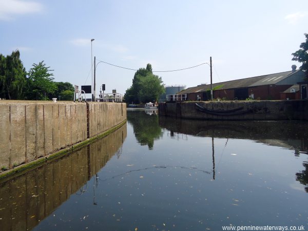
Looking east through the downstream gates of Castleford Flood Lock.
Google aerial view of Castleford Flood Lock.
To the top is the River Aire coming down from Leeds. To the left is the River Calder coming down from Wakefield. To the right is the Castleford Cut leading to the River Aire downstream to Knottingley. To the bottom is the unnavigable section of river leading to the weir. The lock has a bend with a basin between the two sets of gates.
All gates are normally open. In flood conditions the upstream gates (to the left, under the footbridge will be shut. The downstream gates were to allow commercial craft to enter the cut during flood conditions but they are normally not used now. An old lock, south of the present upstream gates, is no longer used.
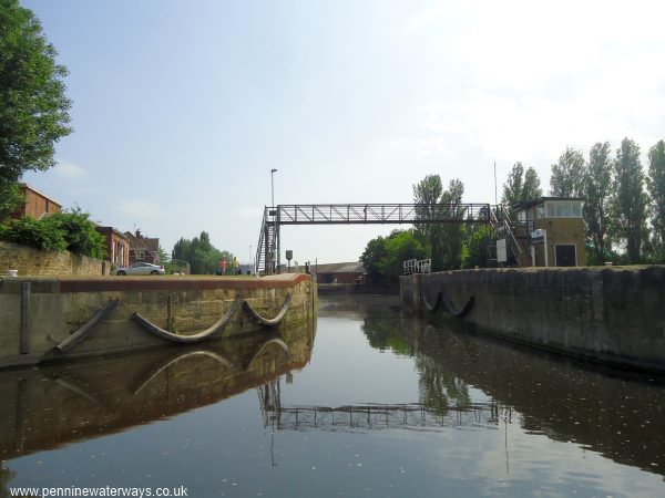
Castleford Flood Lock upstream gates looking back from Castleford Junction.
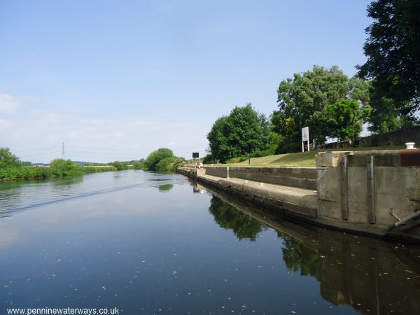
Landing area just upstream of Castleford Flood Lock.