The photos on this page were taken in September 2008. Photos of this section of canal taken in 2005, before work started, can be found here. Photos taken in 2007, during construction work, can be found here.
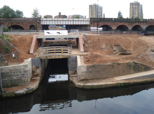
The junction with the River Irwell at Salford. Originally, boats went under the stone arched "Bloody Bridge" and into the staircase Locks 1 and 2. The chamber of the lower lock now forms part of the new channel into the Margaret Fletcher Tunnel under the Salford Inner Relief Road and railway viaduct.
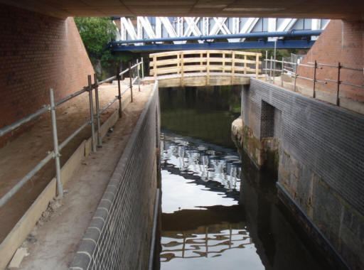
Looking from the Salford Inner Relief Road towards the River Irwell. The gate recesses of the former lock chamber can be seen.
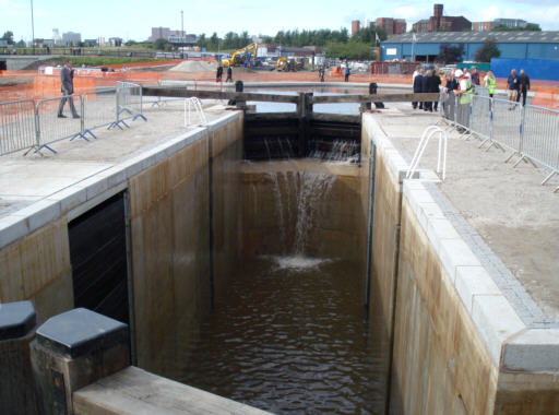
On the west side of the Margaret Fletcher Tunnel, the canal enters the new deep lock. This lock replaces the original Lock 1 and 2 staircase at the river entrance. It had been planned to have a lock of around 2.5m fall here and a second 100m to the west, but the discovery of a Victorian sewer below the original canal bed meant that the canal had to be raised to its original level from this point, which has been achieved by having a single deep lock with a rise of around 5 metres.
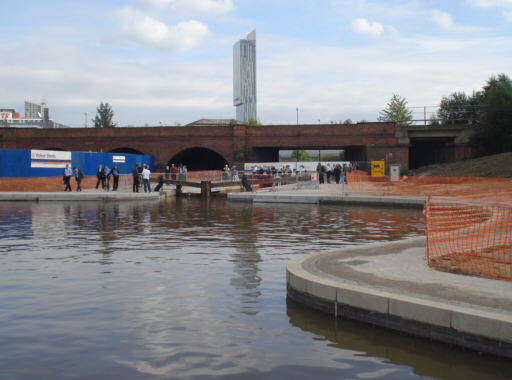
Looking back towards the deep lock. The tunnel entrance is below the railway viaduct.
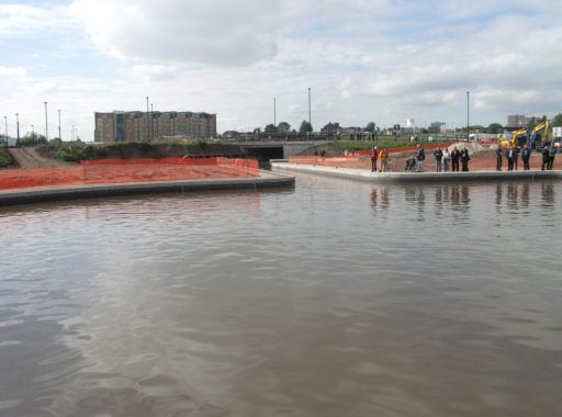
Looking from the deep lock towards East Ordsall Lane Bridge.
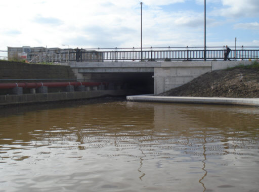
East Ordsall Lane Bridge. The red pipes on the left carry the water that is back-pumped up the locks.
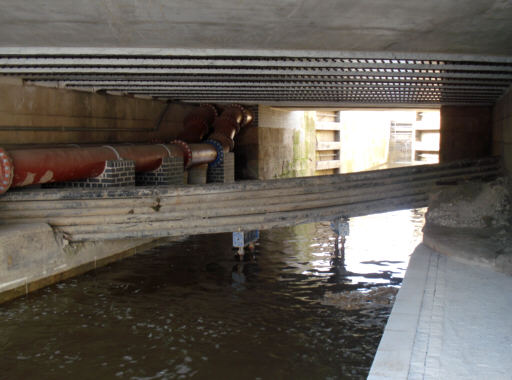
Below East Ordsall Lane Bridge the canal is crossed by fibre optic cables which still need to be moved, which is a difficult process. Beyond the bridge is the chamber of Lock 3.