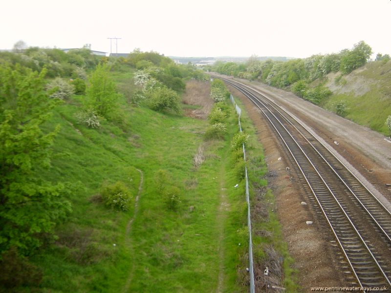
 Looking northwards along Adwick cutting. The brown area in the distance indicates the position of the dried-up canal.
A quarter of a mile ahead, the line of the canal is blocked by a development of distribution sheds at Adwick Park.
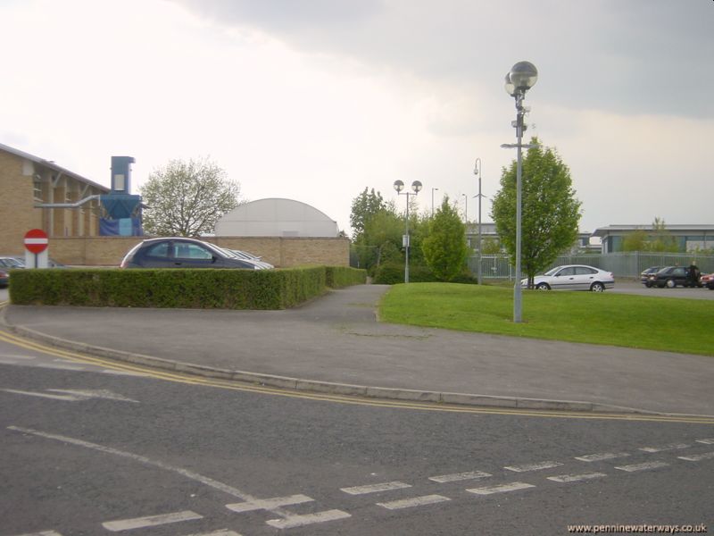 The Dearne Valley College has been built alongside the canal but the the line of the canal was retained as a footpath between the between the buildings shown above.
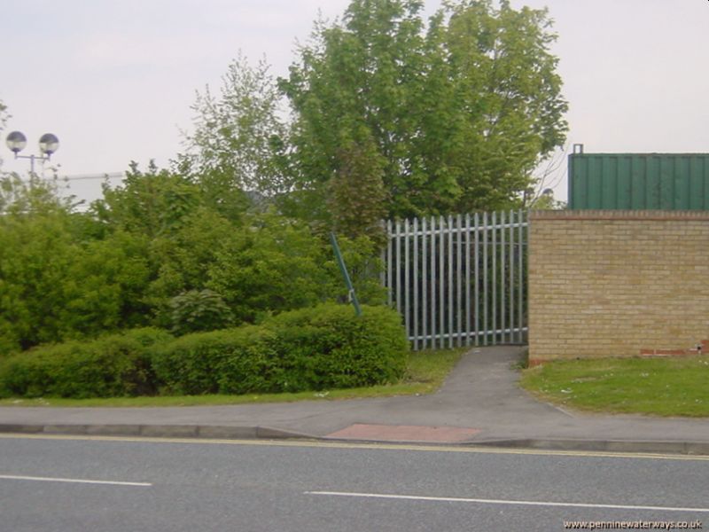 However, the footpath between the buildings has now been blocked off. Seen from Golden Smithies Lane.
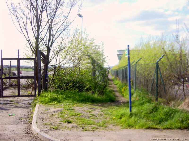 Looking west from Golden Smithies Lane, the route of the towpath is preserved as a footpath.
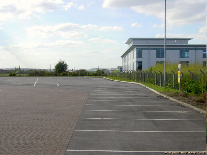 West of Golden Smithies Lane, the footpath that follows the towpath is behind the fence on the right. The line of the canal itself forms part of the car park for car park of Sheffield University School of Nursing and Midwifery.
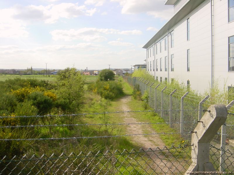 Beyond the university car park, the canal route is infilled but not built on.
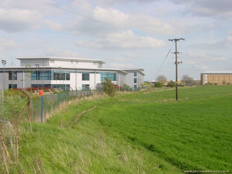 Looking back from Doncaster Road, Manvers. The line of the canal curves along the edge of the field.
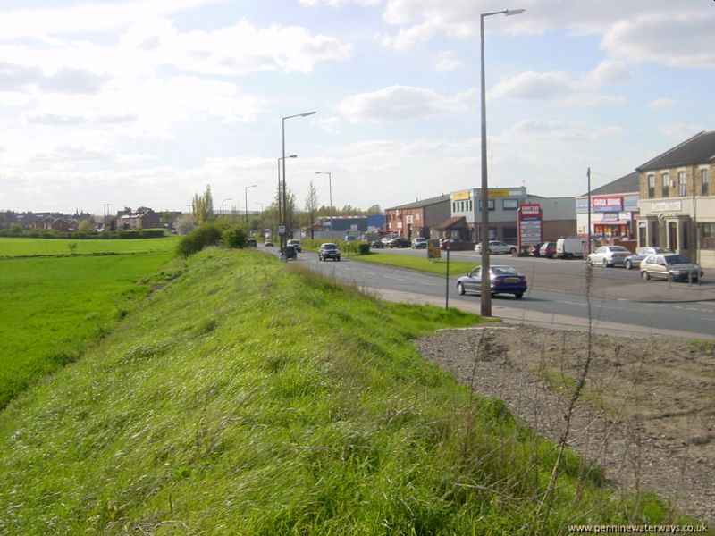 Looking west along Doncaster Road, Manvers. The old road is on the right, in front of the buildings. A newer, wider road was built to the left of the old road, along the line of the canal.