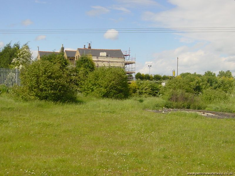
Looking back to The Old Bridge pub. The line of the canal ran from the left of the picture, in front of where the fence now is, round to the right of the pub.
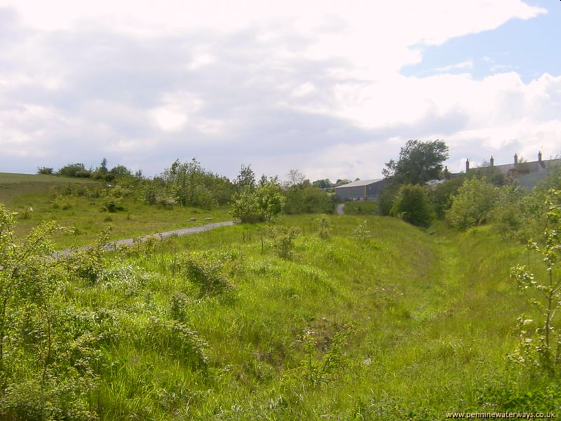
The area between Burton Lane and Littleworth Lane has also been re-claimed and the contours altered. The line of the canal ran along the line of this ditch along the edge of the re-claimed area.
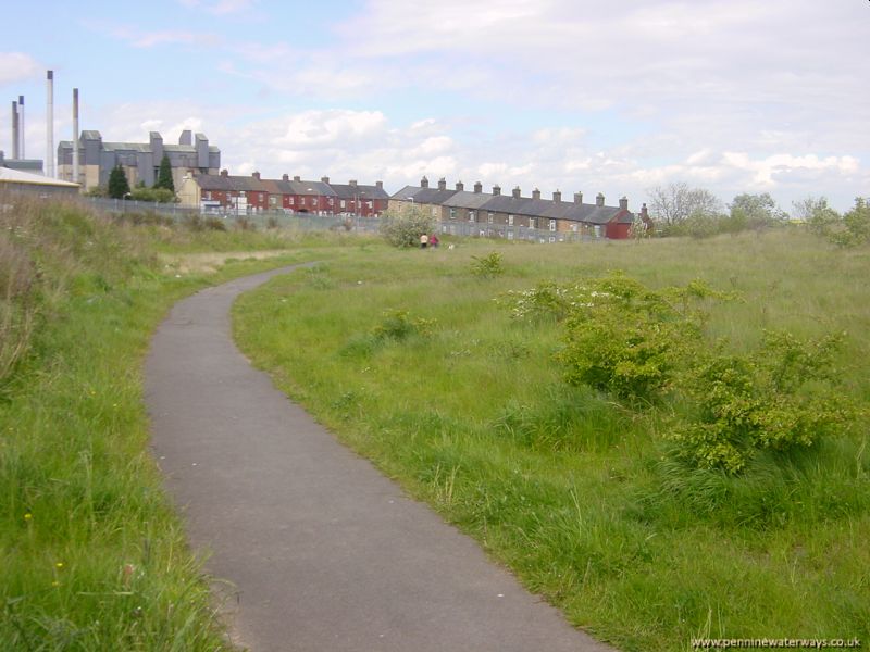
The curve of the footpath indicates the approxinate route of the canal. In the background are the glass works and Monk Terrace, Monk Bretton.
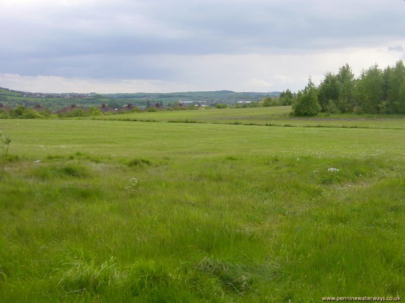
Looking south towards Littleworth Lane along the approximate line of the canal. The remains of the canal will be about 25 feet below present ground level. In this area were the Newbridge Bleach Works and Bleach Croft Bridge.
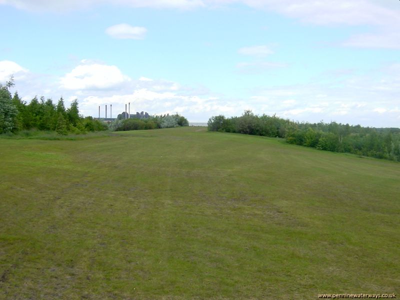
Looking back towards Burton Road. It was somewhere in this area that a major breach occurred in 1946, with 53 million gallons of water escaping, which led to the application to abandon the canal being made the following year.
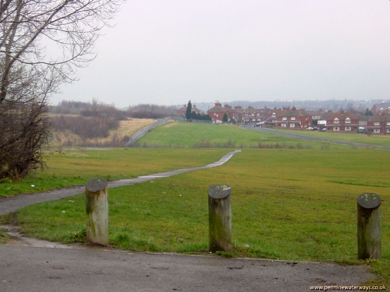
Looking north from Littleworth Lane, Monk Bretton, towards Burton Road. The canal curved round to the left here.
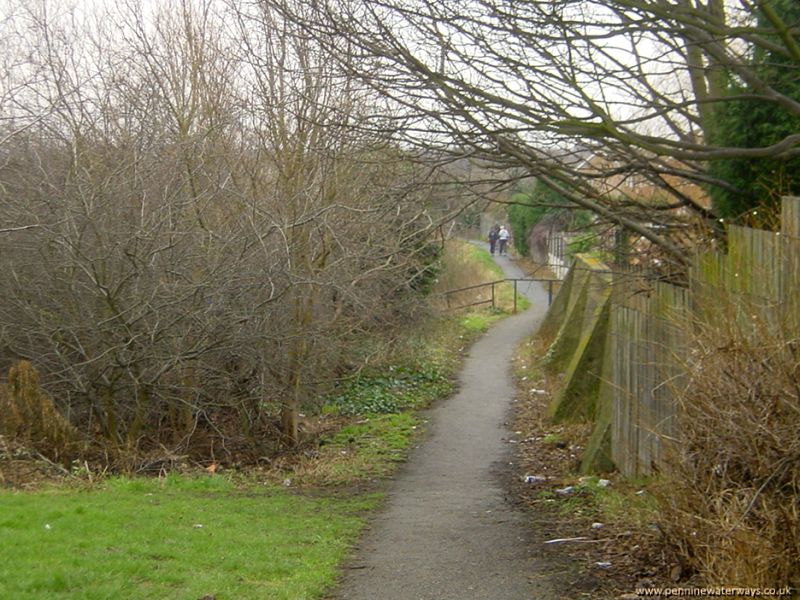
Looking south from Littleworth Lane. The footpath runs along the line of the canal.
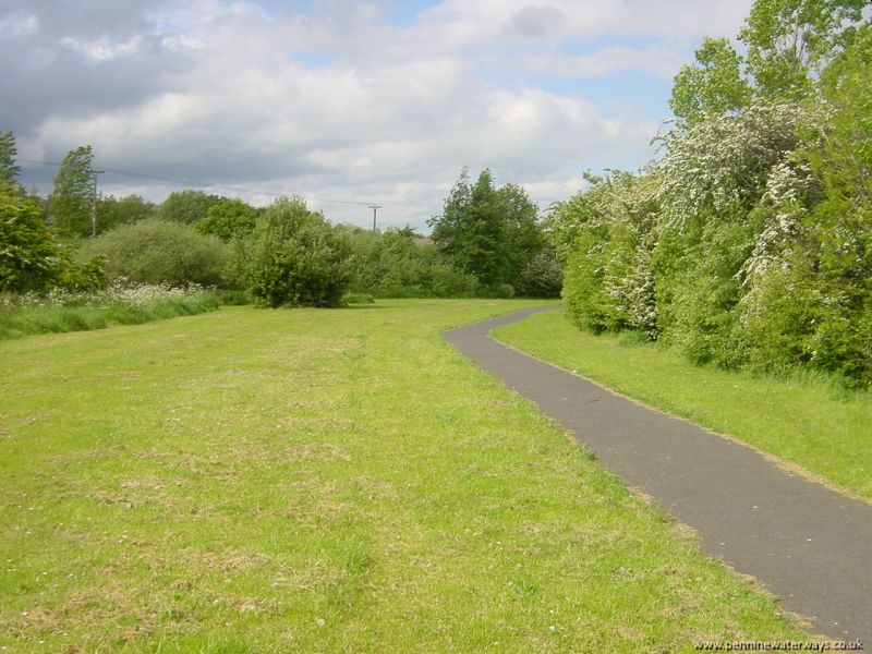
Looking back towards Littleworth Lane.
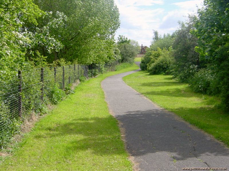
Looking towards Rotherham Road, Cundy Cross.
 Looking back to The Old Bridge pub. The line of the canal ran from the left of the picture, in front of where the fence now is, round to the right of the pub.
 The area between Burton Lane and Littleworth Lane has also been re-claimed and the contours altered. The line of the canal ran along the line of this ditch along the edge of the re-claimed area.
 The curve of the footpath indicates the approxinate route of the canal. In the background are the glass works and Monk Terrace, Monk Bretton.
 Looking south towards Littleworth Lane along the approximate line of the canal. The remains of the canal will be about 25 feet below present ground level. In this area were the Newbridge Bleach Works and Bleach Croft Bridge.
 Looking back towards Burton Road. It was somewhere in this area that a major breach occurred in 1946, with 53 million gallons of water escaping, which led to the application to abandon the canal being made the following year.
 Looking north from Littleworth Lane, Monk Bretton, towards Burton Road. The canal curved round to the left here.
 Looking south from Littleworth Lane. The footpath runs along the line of the canal.
 Looking back towards Littleworth Lane.
 Looking towards Rotherham Road, Cundy Cross.