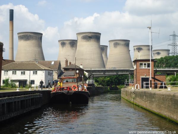
Ferrybridge Flood Lock.
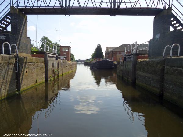
Ferrybridge Flood Lock.
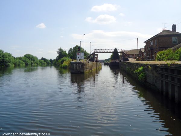
Looking back eastwards to Ferrybridge Flood Lock (right). To the left, the river channel leads towards the weir.
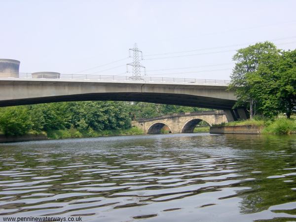
The new bridge carrying the A162 (previously the A1) across the River Aire at Ferrybridge, with the old bridge in the distance.
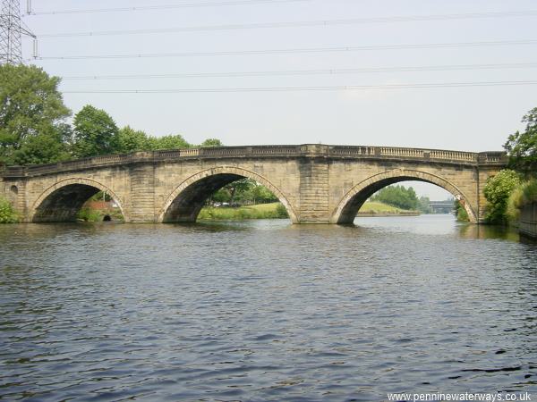
Around the corner is the original road bridge which carried the Great North Road and which gave Ferrybridge its name. For the next 4 miles, the navigation is along the course of the River Aire.
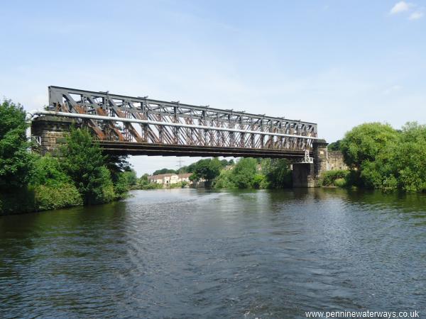
The Tubular Bridge carries a railway across the river near Brotherton.
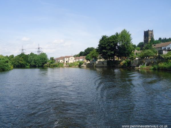
Half a mile from Ferrybridge, the river passes Brotherton.
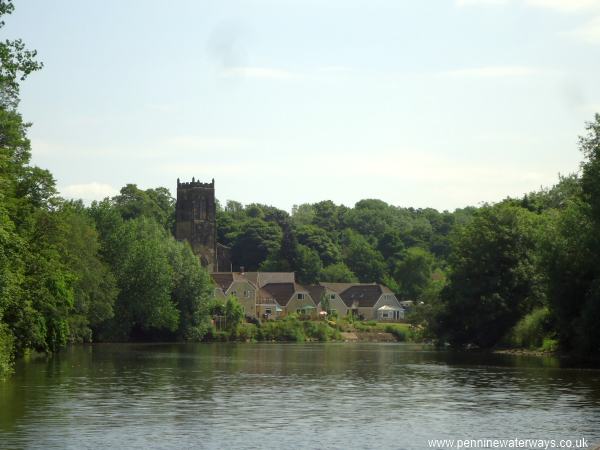
Brotherton.
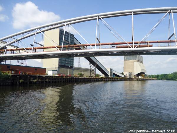
Across the river is the coal terminal that served Ferrybridge Power Station.
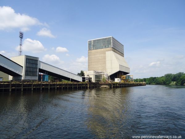
The coal terminal that served Ferrybridge Power Station.