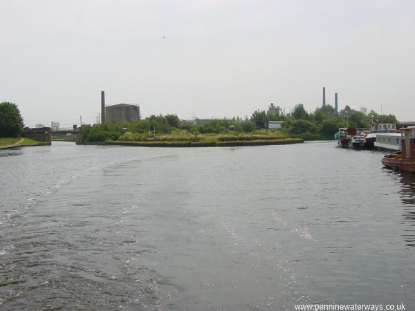
Bank Doles Junction, Knottingley, looking east. The left hand fork leads to Bank Dole Lock, the River Aire and the Selby Canal. The right hand fork is the Aire and Calder Navigation to Goole.
Click here to take Virtual Cruise to Bank Dole Lock, the River Aire and the Selby Canal, then on tp the River Ouse, York and Ripon.
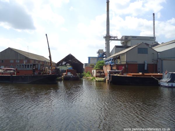
Harker's Boatyard at Fernley Green, overlooking Bank Doles Junction, Knottingley.
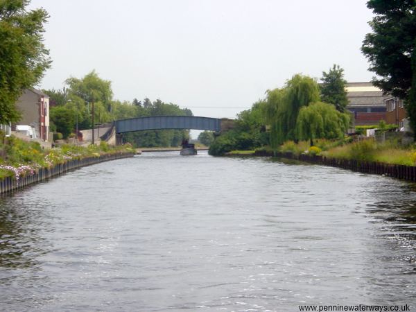
Shepherds Bridge, Knottingley.
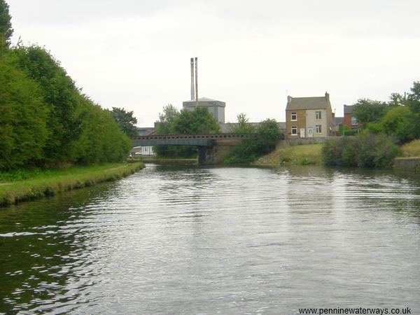
Cow Lane Bridge, Knottingley.
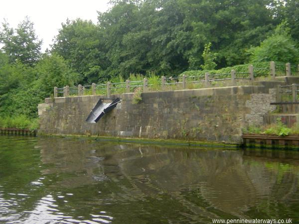
Former coal wharf with loading chute, Knottingley.
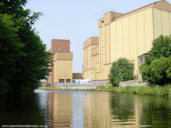
The King's Flour Mills at Knottingley.
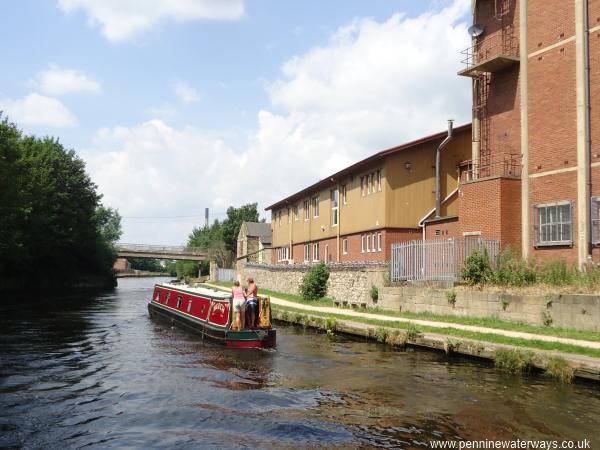
Passing the King's Flour Mills, looking towards MillBridge at Knottingley.
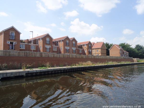
The Wharf housing development at Knottingley.
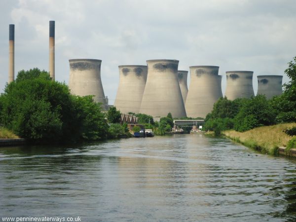
Looking westwards towards Ferrybridge.
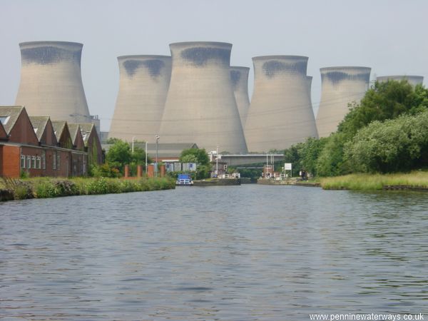
Looking westwards towards Ferrybridge C Power Station. Before that can be seen Ferrybridge Flood Lock and the new bridge carrying the A1.