The River Don Navigation originally continued through Bramwith Lock to the now disused Stainforth Side Lock, where it joined the tidal section of the River Don. Because of the difficulties of navigating this tidal river, with its fast flows, the Stainforth and Keadby Canal was opened in 1802, providing an easier and safer route to the tidal River Trent at Keadby. The Stainforth and Keadby Canal runs for some 14 miles from the New Junction Canal at Bramwith Junction to the tidal River Trent at Keadby.
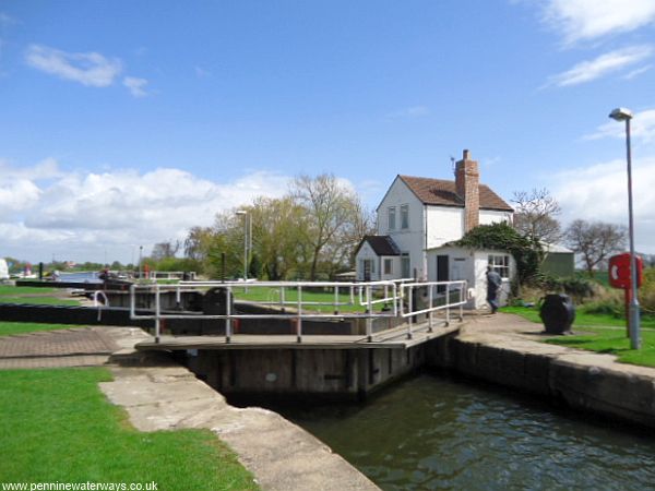
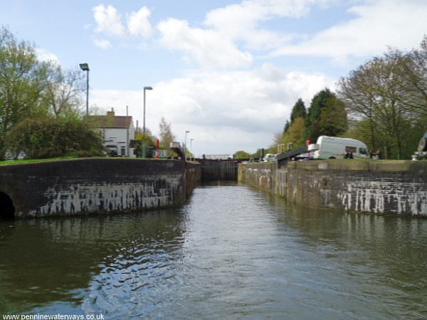
Bramwith Lock.
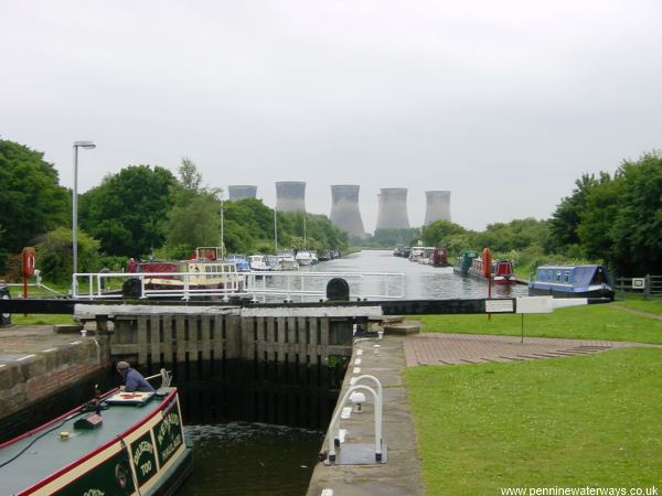
Bramwith Lock, looking back to the junction with the New Junction Canal. The Thorpe Marsh cooling towers are no longer there.
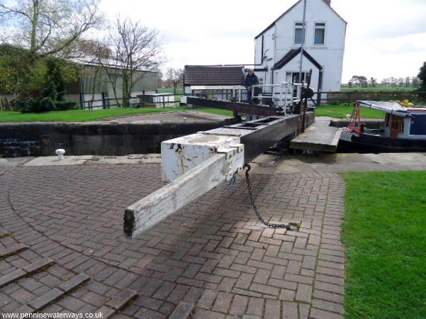
The gates of Bramwith Lock are fairly heavy so the balance beams have had extensions added. There are also chains to prevent the gates swinging open.
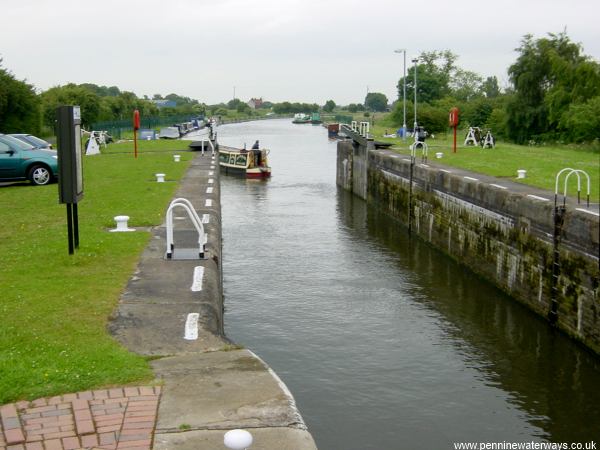
Bramwith Lock, looking east.
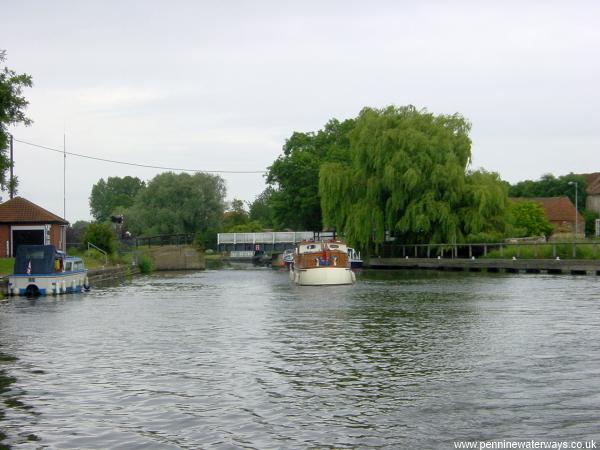
Looking back to Bramwith Lock.
Bramwith Swing Bridge.
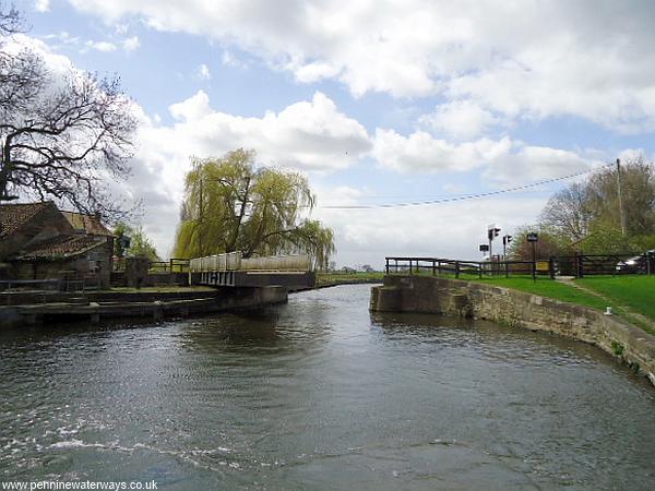
Bramwith Swing Bridge.
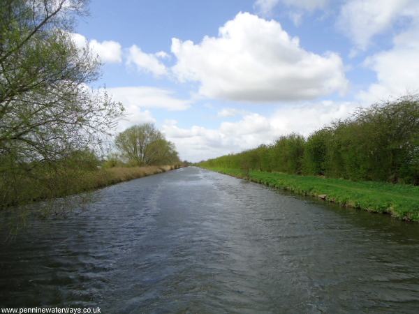
A straight section between Bramwith Swing Bridge and Stainforth.