Bugsworth Basin, the terminus of the Peak Forest Canal, was one of the largest inland ports on the canal system. It was originally intended to continue the canal to Chapel Milton, two miles to the east. It would have required 12 locks to take the canal to Chapel Milton, where an interchange with the Peak Forest tramway was planned. It was cheaper and easier to bring the tramway to Bugsworth. The tramway brought limestone six miles from quarries at Lodes Knowle and Dove Holes for transhipment into canal boats that would take it to Manchester and beyond.
The loaded wagons moved down the tramway by gravity, while the empty wagons were hauled back using horses. At Chapel-en-le-Frith, there was the Great Inclined Plane, a third of a mile in length, with a rise of over 200 feet. The loaded wagons going downhill counter-weighed the empty wagons going up. The speed was controlled by a brakeman in a tower at the top. The tramway was used until 1924.
Bugsworth Basin closed in 1927 and by the 1960s was dry and overgrown. In 1968 volunteers from the Inland Waterways Protection Society began the long work of restoration. The basin re-opened in 1999 but had to be closed again after a few months later due to major leaks. Further work has been carried out and the basin re-opened in 2005.
There is a simple map of the basin on the page which follows this.
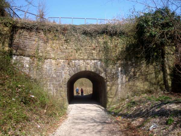
Bridgemont Aqueduct provided the route for boat horses going to or from Whaley Bridge to cross the canal at Bridgemont Junction.
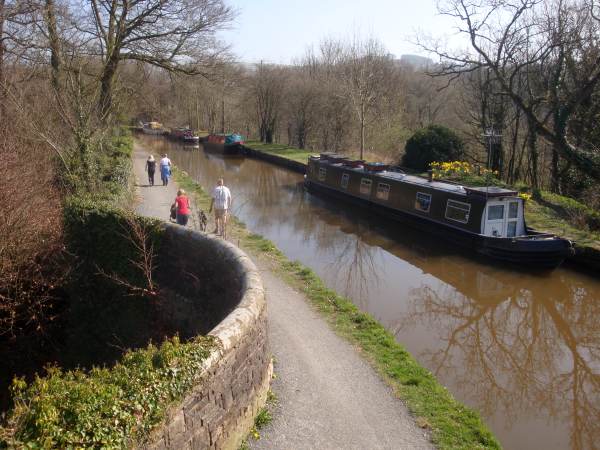
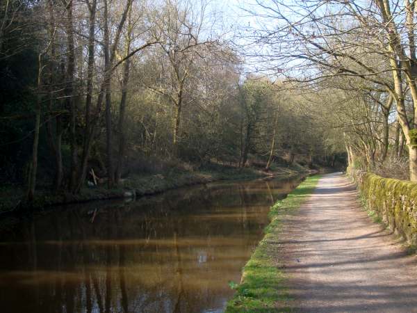
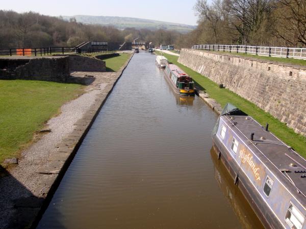
Looking east from Bridgemont Junction, across Bridgemont Aqueduct, along the half-mile stretch towards Bugsworth.
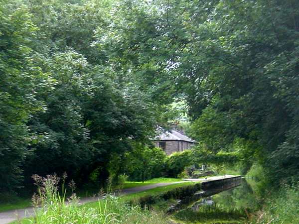
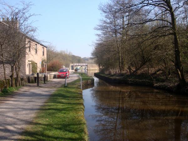
The approach channel to Bugsworth Basin looking towards Teapot Row.
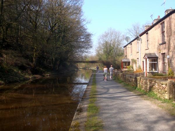
The row of cottages fronting onto the towpath is called Teapot Row, allegedly because the residents used to empty their teapots into the canal.
Looking back toward Teapot Row.
The entrance to Bugsworth is through the narrow gauging stop, where the weight of boats' cargoes would be assessed before they left the basin. On the left is the Wharfinger's House.
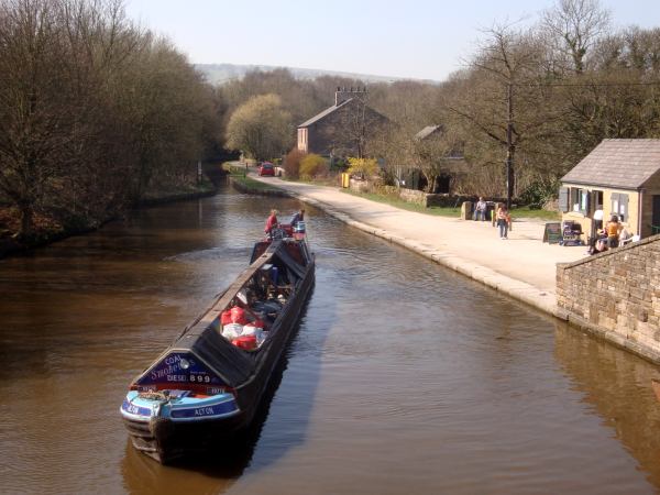
The Entrance Basin at Bugsworth, looking back to the gauging stop. The Wharfinger's House is to the right, with the former stable behind. On the right of the photo is the shop and facilities block created by the Inland Waterways Protection Society, who have restored Bugsworth.
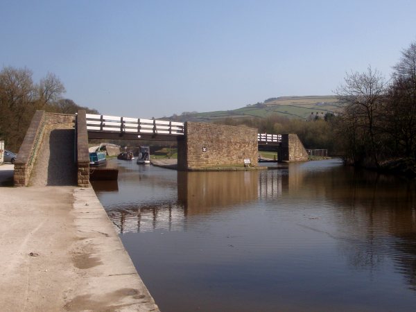
The canal curves to the right at the Entrance Basin, with horse bridges across the entrances to the Lower Basin and the Lower Basin Arm. Horses towing boats to the upper basins would cross these bridges to continue along the canal.
The Lower Basin, Bugsworth, looking towards the Entrance Basin. This basin is the most popular mooring location and is often full of boats during the busier months.
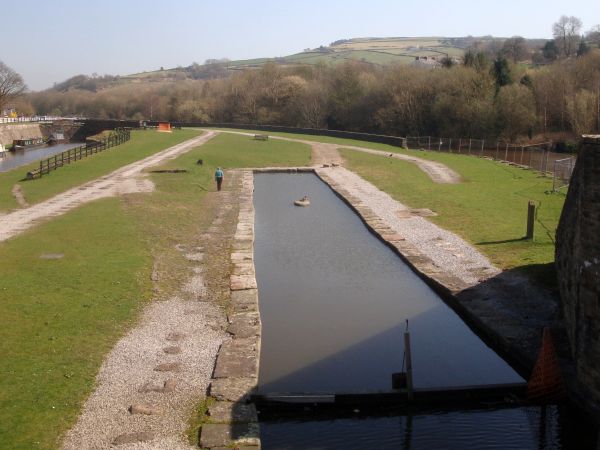
The Lower Basin arm, not currently in use. On the grass behind, sleeper blocks mark the courses of the former tramways. Wagons carrying limestone were brought down the tramway from the quarries at Dove Holes.
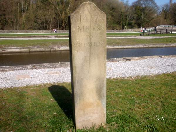
Beside the Lower Basin Arm stands this stone declaring that it is 14 and a half miles to Ashton Junction.