The River Irwell through Manchester formed part of the Mersey and Irwell Navigation from 1736 until the construction of the Manchester Ship Canal in 1894. Many sections of the Mersey and Irwell Navigation were incorporated into the Ship Canal. The Upper Reaches of the Manchester Ship Canal include the navigable part of the River Irwell through Manchester.
Boats originally accessed the River Irwell by means of the short Hulme Locks Branch. This is now closed and boats now use a new lock between the Bridgewater Canal and Pomona Dock. When the Manchester Bolton and Bury Canal is restored, access to it will be via the River Irwell.
Salford Quays and the Upper Reaches of the Ship Canal between Salford Quays and Pomona are covered by other pages of this website. These pages look at the section from Pomona to Hunts Bank (Victoria).
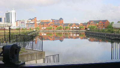
Pomona Dock, seen from Pomona Lock, the access to the River Irwell from the Bridgewater Canal. Salford Quays is to the left at the far end of the dock, the River Irwell to the right.
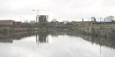
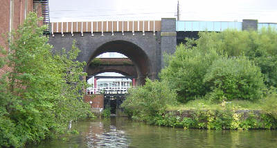
Going along the "Upper Reaches" towards Manchester, the former quaysides are bleakly empty. On the right can be seen part of the nearly 2 miles long Manchester South Junction and Altrincham Railway viaduct.
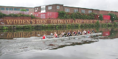
Photo: Neil Arlidge.
Rowers are usually the only users of the Upper Reaches.
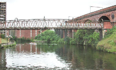
Photo: Neil Arlidge.
Woden's Footbridge marks the upstream limit of the Ship Canal.
Passing the disused Hulme Locks Branch, the original access to the River Irwell from the Bridgewater Canal.
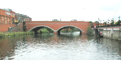
Photo: Neil Arlidge.
Regent Bridge, carrying the A57, with steps from the landing stage on the right leading up to Harry Ramsden's fish and chip outlet.