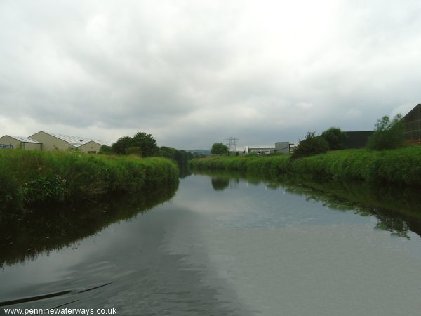
Approaching Brighouse, the river passes through areas of industrial units on both banks.
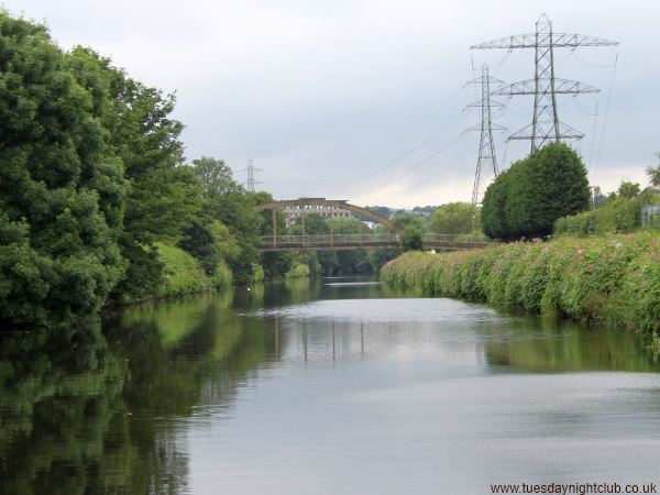
Huntingdon Road Bridge. There is no towpath between here and Brighouse, so walkers should cross the bridge, turn left along Armitage Road and continue until they reach Brighouse Basin. Photo: Neil Arlidge.
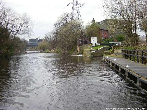
About half a mile further upstream, the navigation leaves the river for the last time, branching right into the two Brighouse locks. From here to Sowerby Bridge the navigation is along a man-made channel.
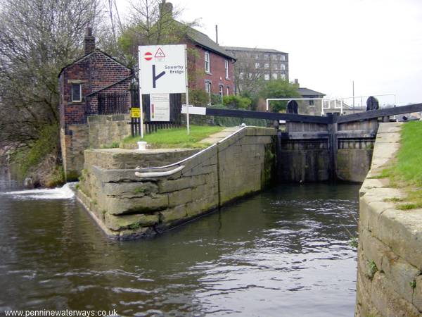
Brighouse Lower Lock.
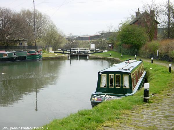
Looking back to the lower lock at Brighouse from the basin between the two locks. The River Calder is beyond the lock.
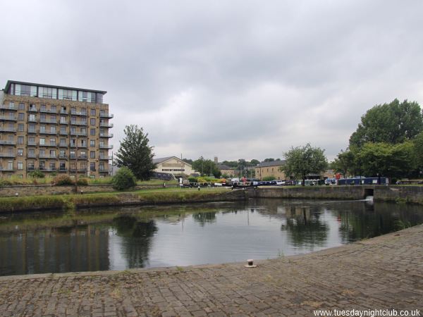
Looking across the basin between the two locks at Brighouse. Photo: Neil Arlidge.
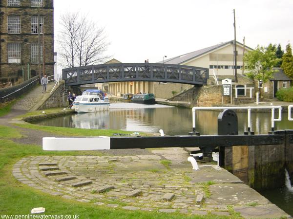
The navigation climbs through another lock to the upper basin and passes below this "roving" bridge with a spiral ramp on each side, which enabled horses to cross without being detached from their tow ropes.
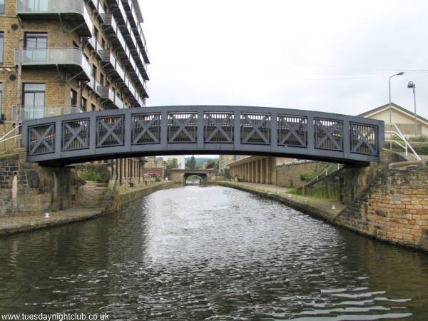
Roving bridge at Brighouse. Photo: Neil Arlidge.
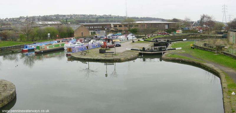
Looking back to the upper basin and lock at Brighouse with the marina to the left.
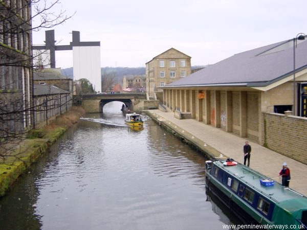
Looking west from the roving bridge towards Huddersfield Road bridge, with Sainsbury's supermarket to the right.