This virtual journey along the Barnsley Canal goes from north to south, starting from its junction with the Aire and Calder Navigation at Heath Lock, near Wakefield. The first half mile of the canal is infilled and crosses private land where a power station had been built after the closure of the canal.
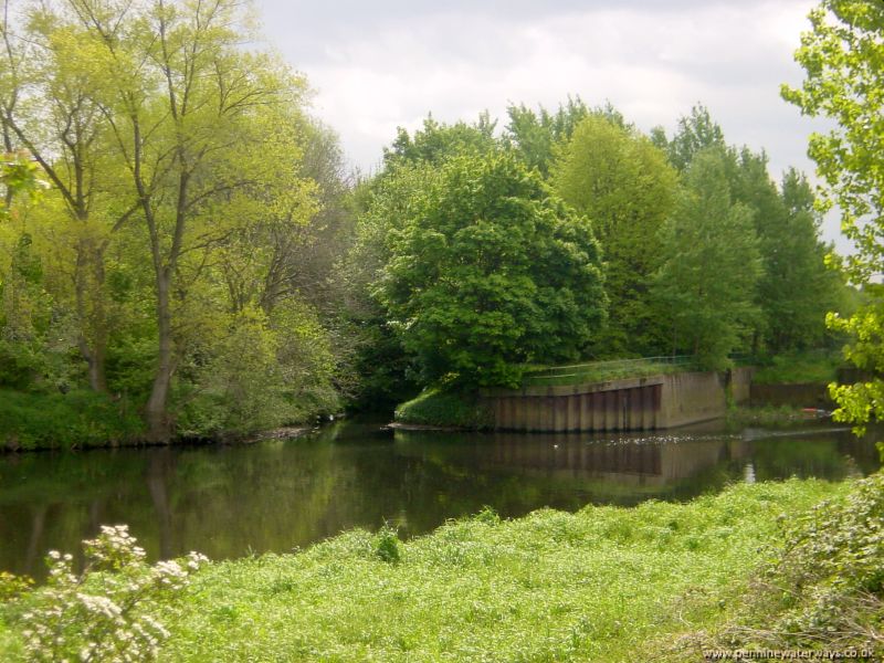 The entrance to the Barnsley Canal seen from the River Calder, east of Wakefield. The entrance to the former lock can be seen to the right. To the left is the Oakenshaw Beck, which originally formed the first part of the canal.
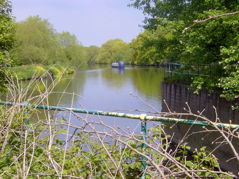 The River Calder seen from the site of Heath Lock, the former entrance to the Barnsley Canal.
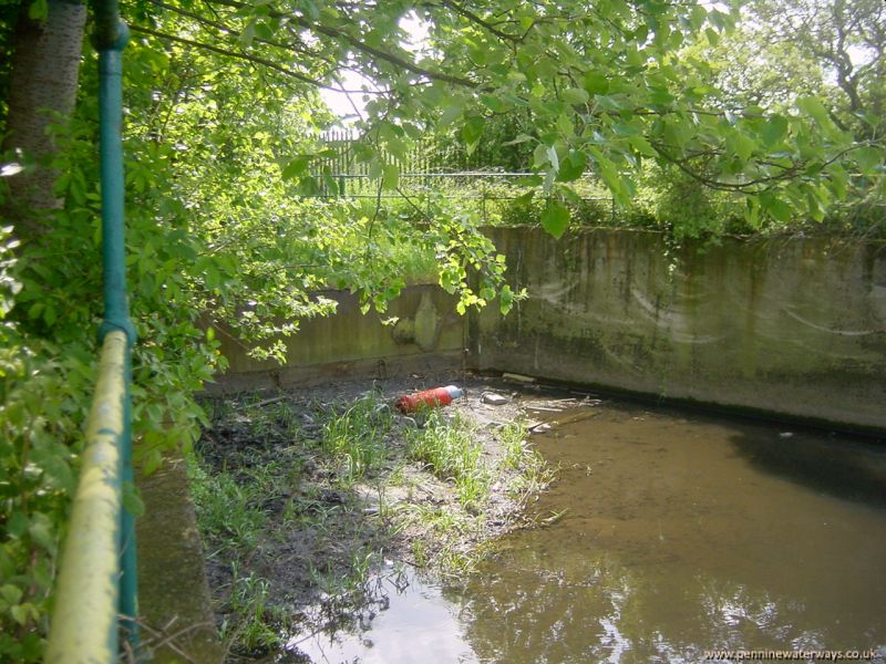 The approach to the site of the first lock, which is now completely filled in.
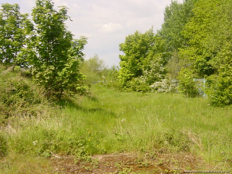 Looking back northwards to the site of the first lock along the line of the canal. When a power station was built here, the canal was infilled and no trace of it can be seen. Now the power station has also gone.
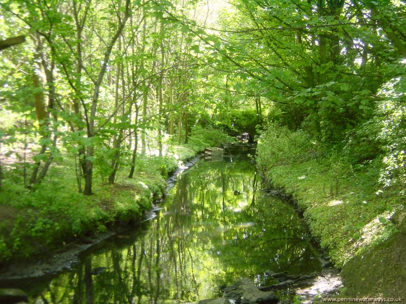 To the east of the first lock is the Oakenshaw Beck. When the canal was first built (1799), this was the original route, with the first lock being some distance upstream. However, the channel was constantly silting up, so, in 1816, this section was bypassed by a new canal channel running parallel to the beck, to join the river at the lock mentioned above.
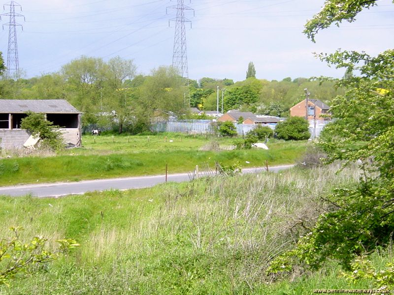 Looking north from Doncaster Road, Agbrigg, back towards Heath Lock. All evidence of the canal has disappeared in this area.
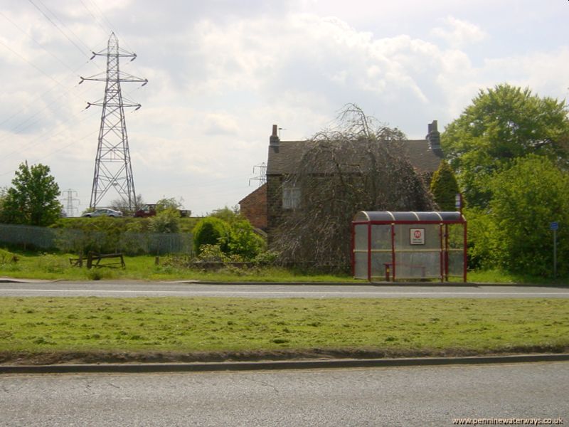 The bridge under Doncaster Road, Agbrigg, has disappeared with road widening. However, to the south of the railway embankment is a section of canal still in water.
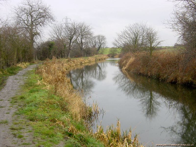 Just beyond Doncaster Road and the railway embankment at Agbrigg, the first section of canal in water is to be found.
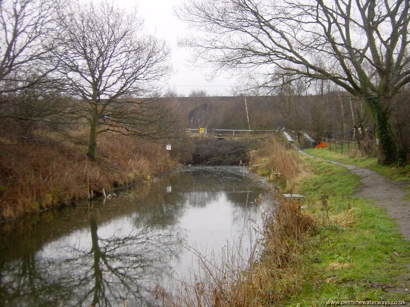 Looking towards the site of Heath Bridge, where Oakenshaw Lane crosses.