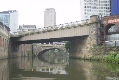
Cathedral Approach, looking back to Victoria Bridge.
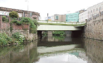
Photo: Neil Arlidge.
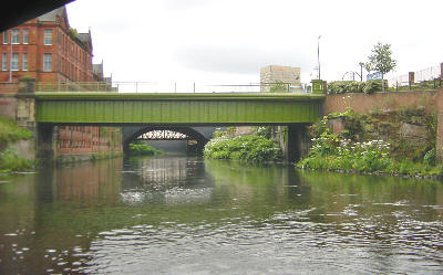
Salford Bridge, carrying Chapel Street.
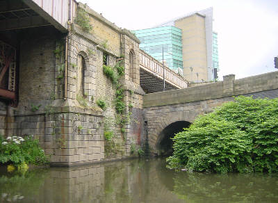
The River Irk emerges at Hunts Bank. The River Irwell continues under the railway bridge to the left. Beyond Hunts Bank, the river becomes shallow and is usually only navigable after periods of rain.
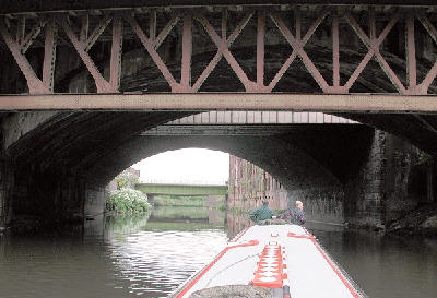
Photo: Neil Arlidge.
The railway bridges leading out from Victoria Station, looking towards New Bridge.
New Bridge, looking back towards Hunts Bank from below Trinity Way bridge.
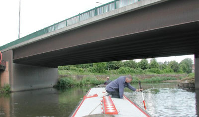
Photo: Neil Arlidge.
Proceeding with caution, testing the depth, as Trinity Way crosses back over the river.
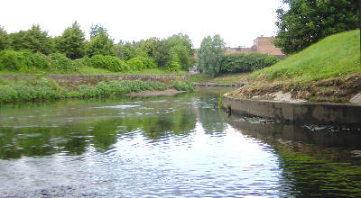
Beyond Trinity Way, the river curves away towards Broughton, too shallow for further navigation.