The Beat Bank Branch was a proposed canal branch off the Stockport Branch of the Ashton Canal. It was intended to serve the coal mines in the Beat Bank, Burton Nook and Haughton areas of Denton. Work was started on it but never completed.
Construction began in 1793 at various locations although none of the proposed major structures (tunnel, aqueduct, embankment) were constructed. Work ceased in 1795 after around 60% of the line had been built. Only the first 250m of canal was ever in water and open to navigation. The rest of the route was officially abandoned in 1798.
The route had proved difficult, with much of it running along the clay slopes of the valley of the River Tame, which were liable to landslips and potential breaches.
It would appear that the company expected a much greater volume of coal could be shipped from the collieries served by the Ashton Canal's Hollinwood and Fairbottom branches, giving them easier profits than continuing with the problematic Beat Bank route, which may have been unprofitable. Another factor that may have influenced the decision was that the owners of several of the mines on the Hollinwood and Fairbottom branches were shareholders of the canal company.
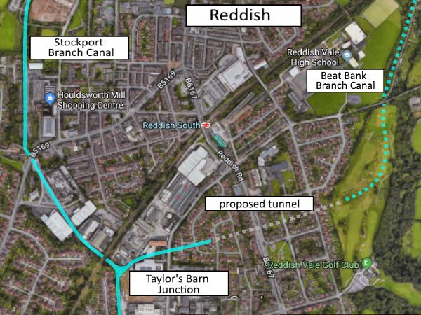
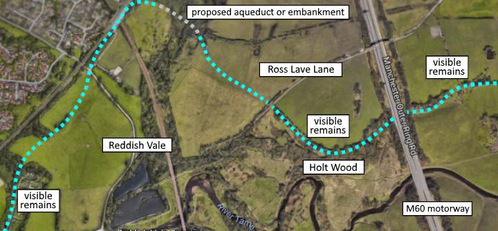
The line of the Beat Bank Branch left the Stockport Branch at Taylor's Barn Junction, immediately east of the point where the Stockport Branch was later crossed by the London and North Western Railway line from Reddish South to Stockport.
Initially the route ran north-eastwards, curving eastwards towards where Greg Street is now. It ran into a cutting and was to enter a 300m tunnel close to the present junction of Maypool Drive and Exford Close.
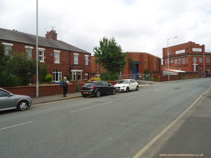
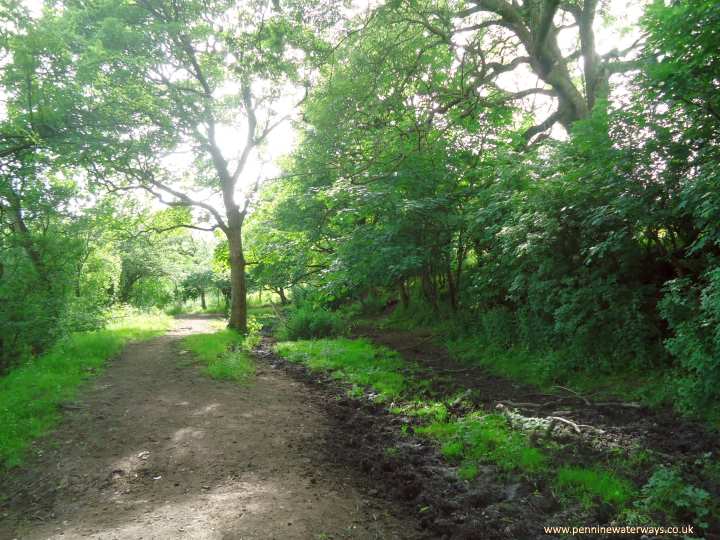
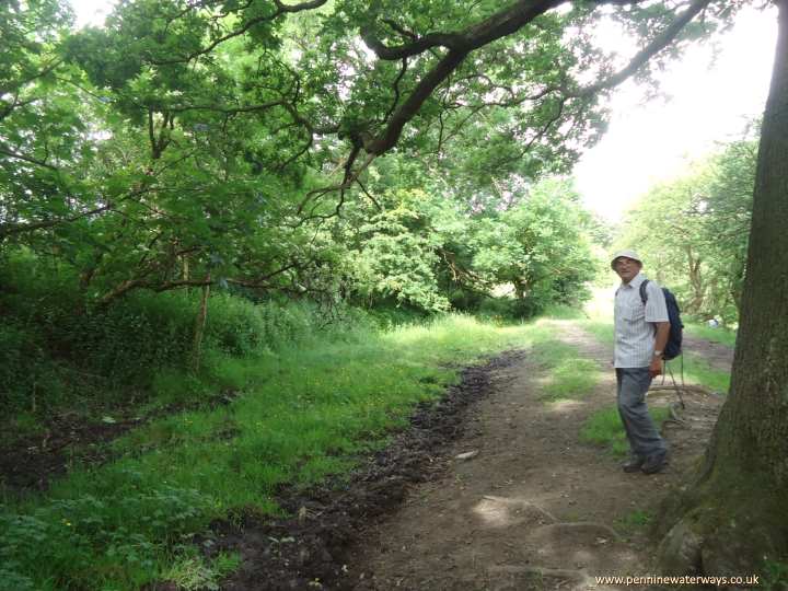
About 150 m from the junction, the canal ran across what is now Greg Street, at approximately the point where the man is walking. This part of the canal was in water.
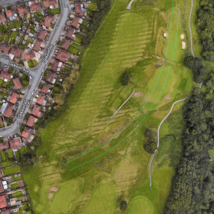
The other end of the tunnel was going to be to the east of Reddish Road and Dumbarton Road, in an area that is now a golf course. The cutting into which it was intended to emerge can still be made out in aerial views.
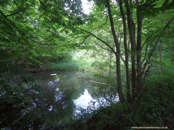
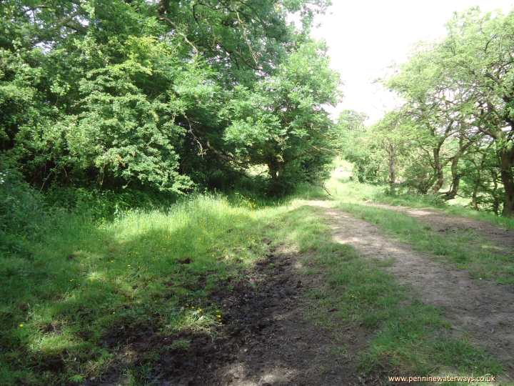
The line then turned north-eastwards, passing to the east of Reddish Vale High School, where some short sections can still be seen holding water. This water is the run-off from rainfall that collects in the puddled canal bed. This part of the canal was never officially in water. The line followed the contours across fields to Mill Lane, close to the railway bridge. The railway was built partly along the canal line for the next 200 metres.
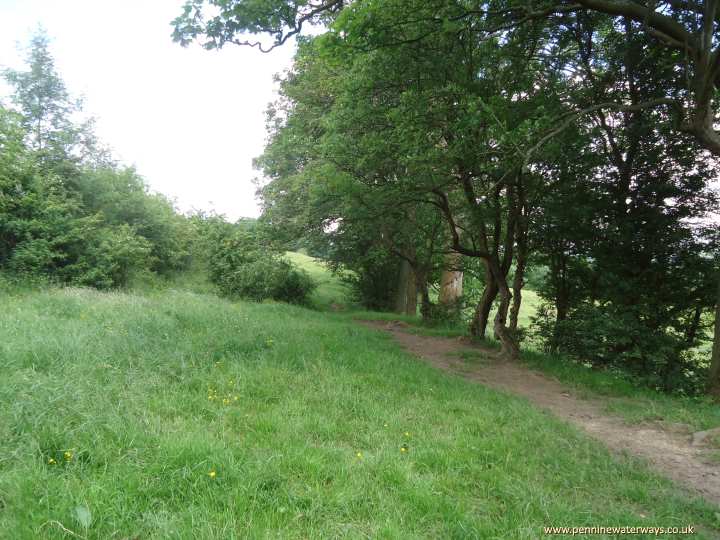
Off Reddish Vale Road some short stretches of canal bed hold water.
At a point just east of where the Sheffield and Midland Joint Railway later crossed below the LNW railway, the canal line took a right turn and was intended to cross the Denton Woods valley on an aqueduct or embankmemnt.
Between Denton Woods and Ross Lave Lane, there is little sign of the canal line. However, the 1845 map shows extensive earthworks and a section of completed canal here, so these have evidently been ploughed out over the intervening years.
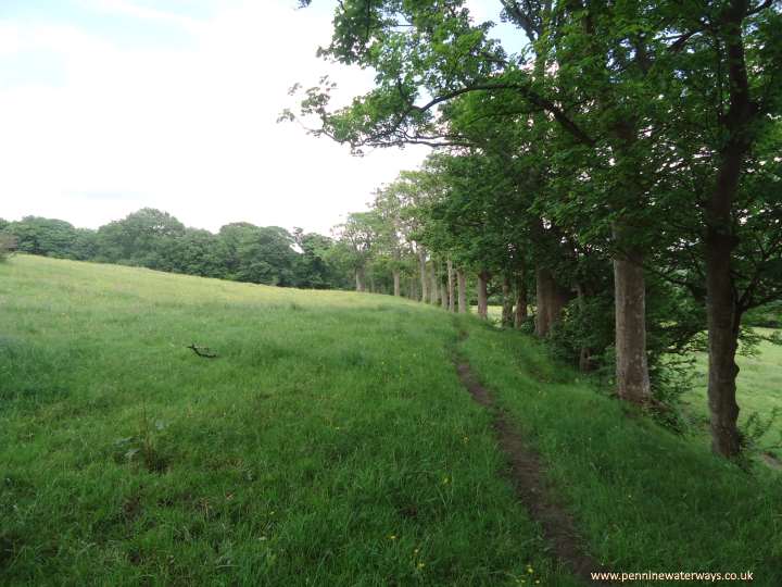
East of Ross Lave Lane, the shape of the canal can clearly be seen as it contours above Holt Wood.
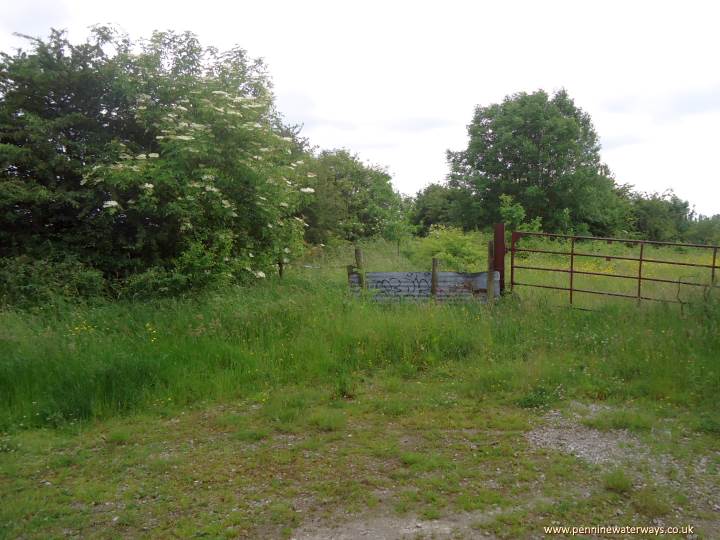
Looking east from Ross Lave Lane, where the canal structure is still visible, although overgrown.
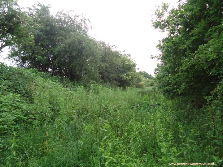
East of Ross Lave Lane.
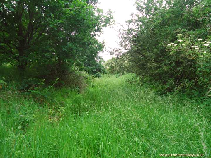
East of Ross Lave Lane.
The canal structure can again be seen clearly as it continued on the east side of the M60 motorway, as far as Horse Close Wood and the deep valley running from Hyde Hall down to the River Tame.
The canal structure is visible again east of the M60 motorway.
East of the M60 motorway.
East of the M60 motorway.
Some of the canal remains are at different levels as a result of landslips on the clay slope.
Approaching Horse Close Wood, the canal remains become less distinct due to the laying of a sewer in the 1940s.
It would appear that Horse Close Wood was where construction stopped, half a mile from the collieries the canal was intended to serve at Beat Bank and Burton Nook
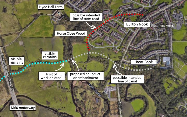
It has been suggested that the final section of canal was intended to swing north-eastwards to the colliery at Burton Nook. There is, however, a difference in height of around 15m between the canal remnants and the site of Burton Nook colliery, so it seems more likely that a tram road was intended to connect that colliery with the canal.
It turned out that the quantity of coal available in the Denton area was much greater than the canal company had anticipated and that the canal branch might well have become lucrative had it been completed. In subsequent years a tram road was constructed from the colliery at Burton Nook to the London and North Western Railway near Reddish Vale.